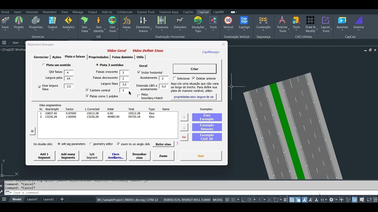
Designing road signage
Carriageway markings
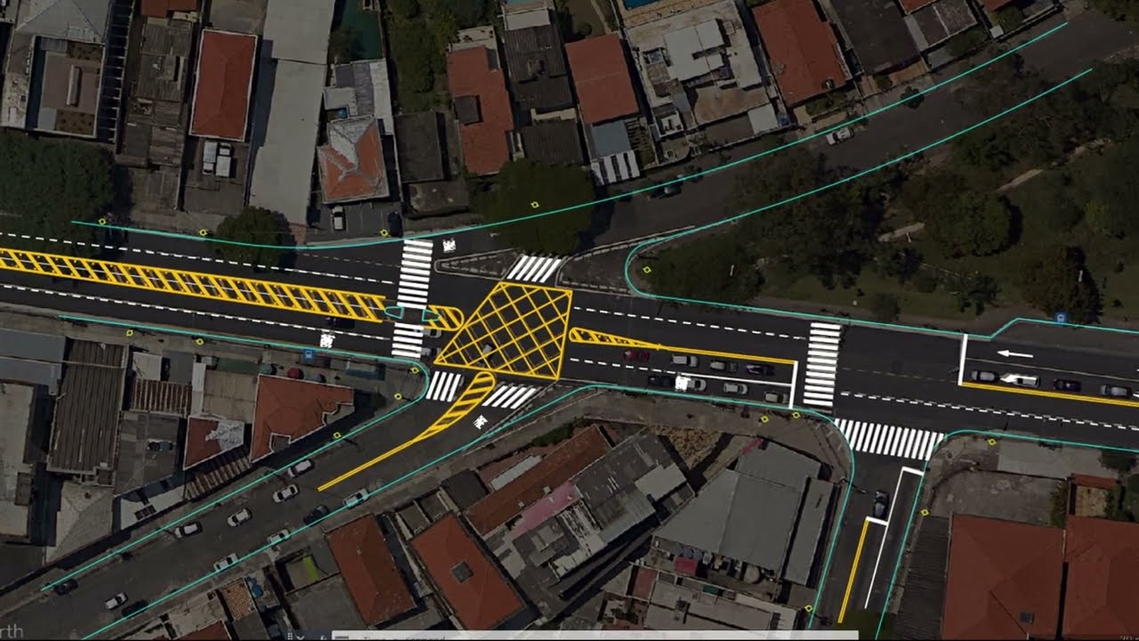
Comprehensive, intuitive and highly configurable commands for:
lanes (incl. insertion driven by alignment analysis),
hatched zones (linear ,
2-way
,
2-way ,
3-way
,
3-way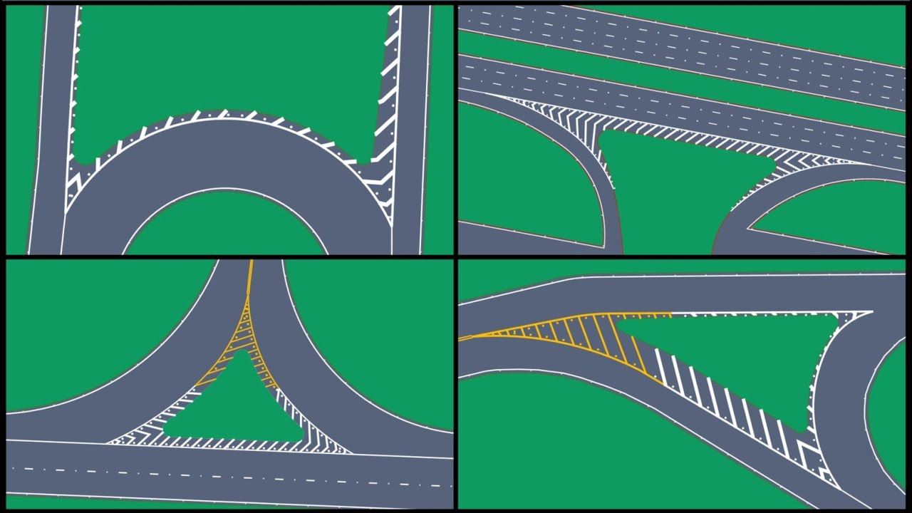 ),
pavement inscriptions
),
pavement inscriptions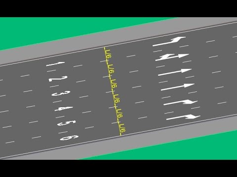 ,
crossings
,
crossings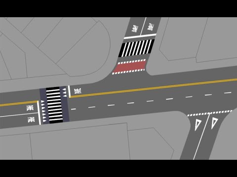 ,
speed-reduction lines,
contrast paint
,
speed-reduction lines,
contrast paint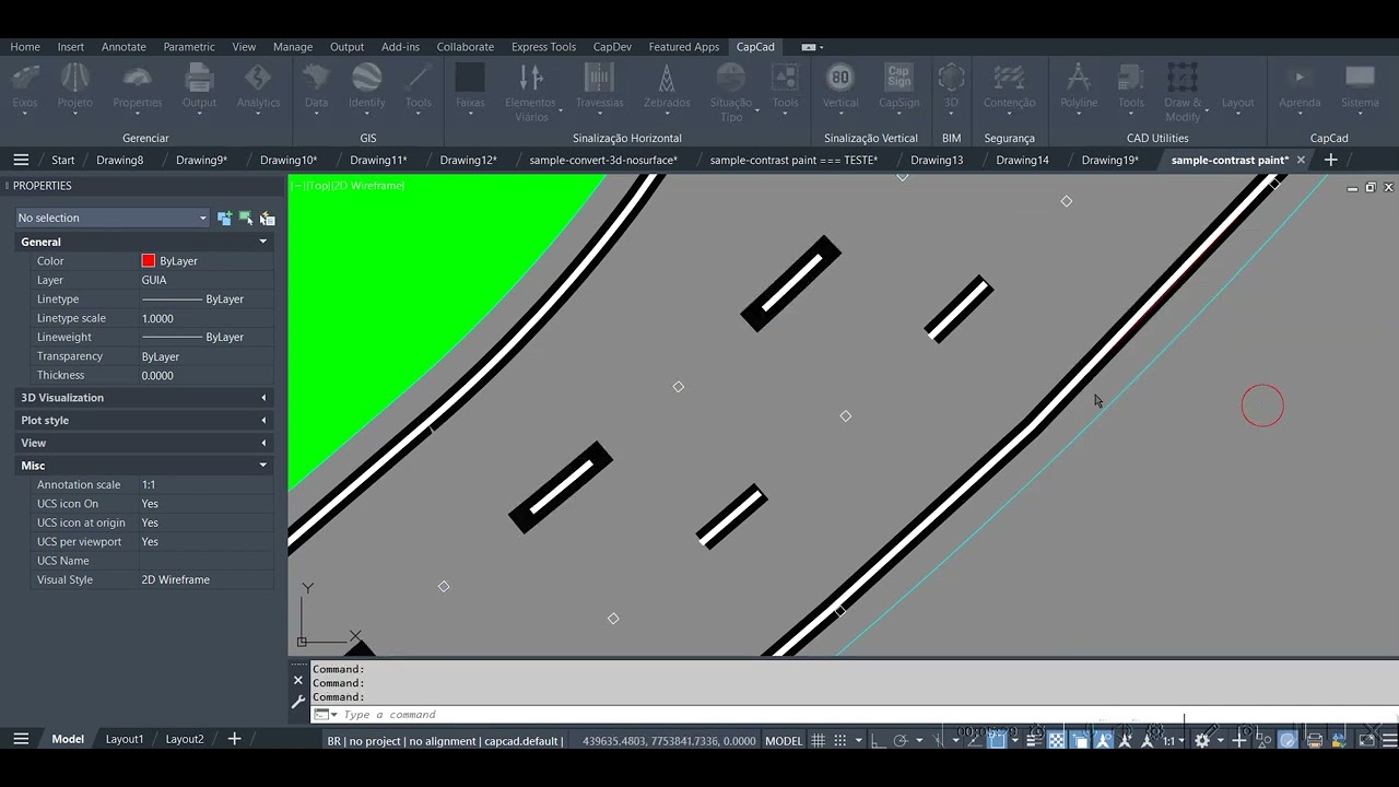 ,
parking areas
,
parking areas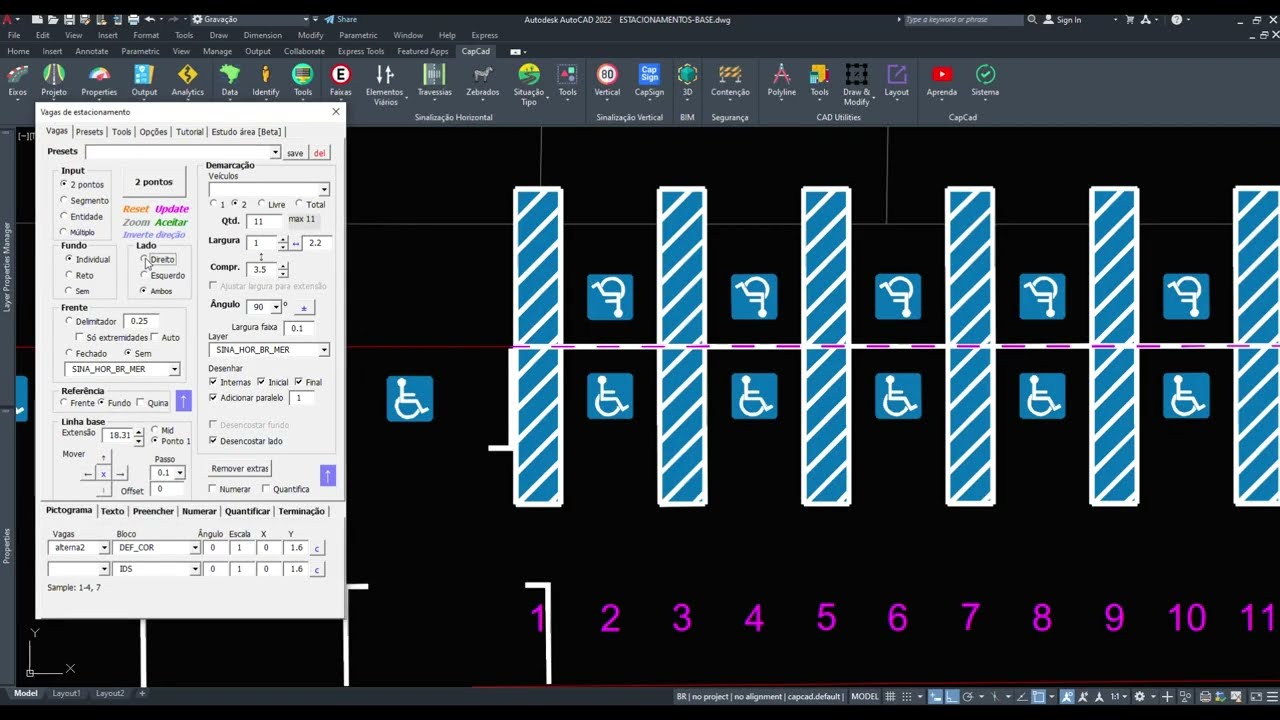 ,
cycle lanes
,
cycle lanes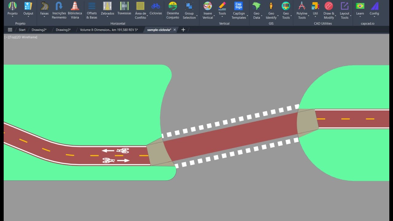 ,
speed humps,
roundabouts
,
speed humps,
roundabouts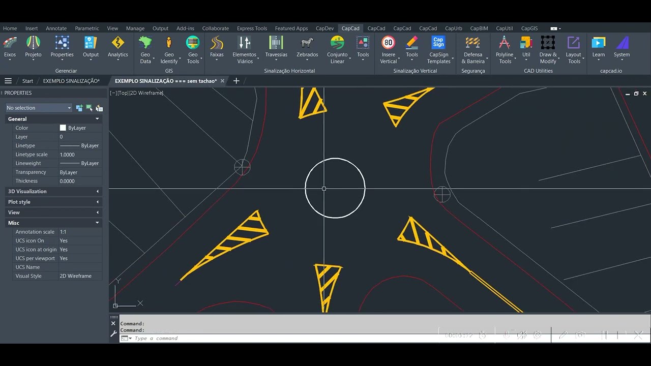 ,
hatched areas & MAC
,
hatched areas & MAC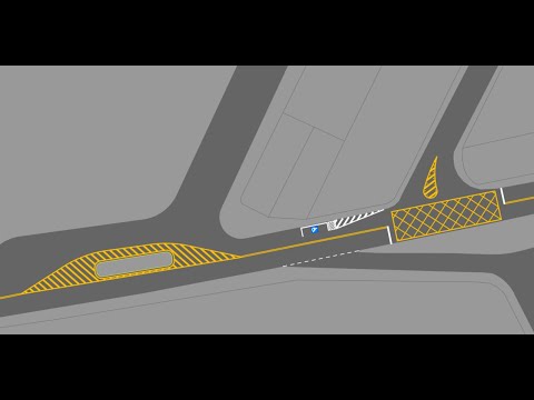 .
Elements are CapCad groups — re-selectable by the whole. Reports
respect colour/material splits, studs separated by type, direct
3D conversion with no intermediate steps.
.
Elements are CapCad groups — re-selectable by the whole. Reports
respect colour/material splits, studs separated by type, direct
3D conversion with no intermediate steps.
Vertical signage
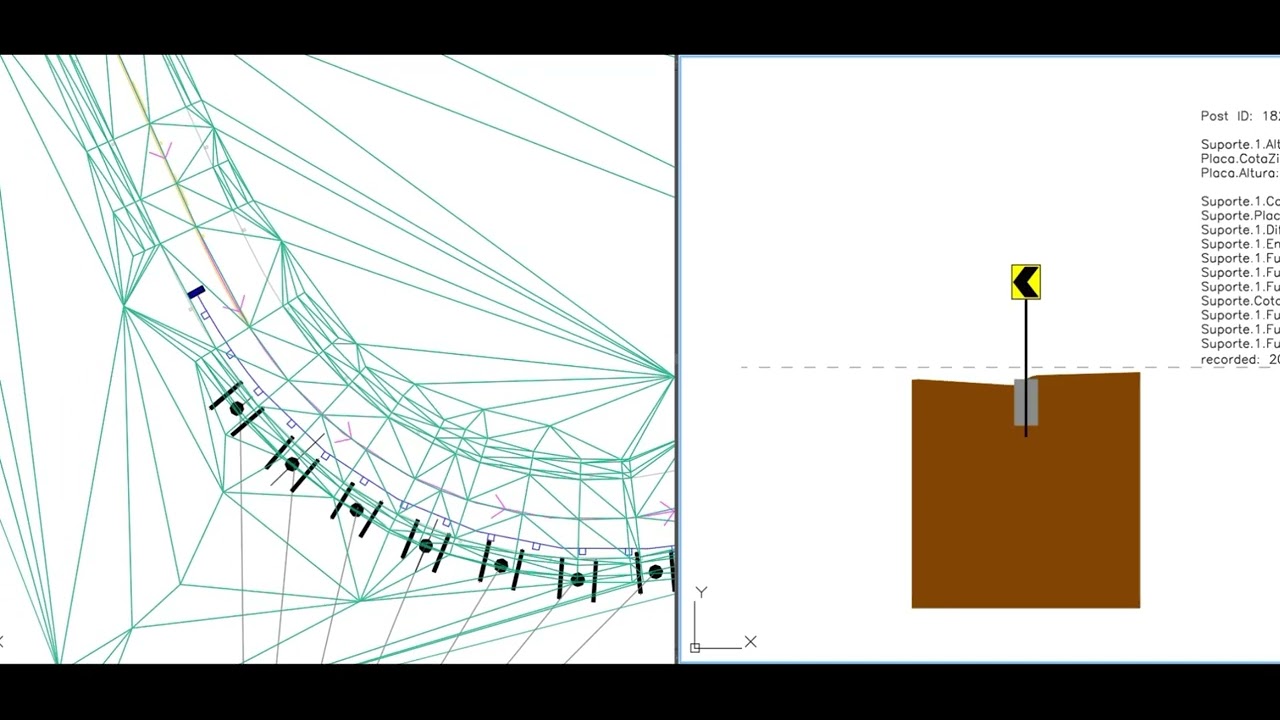
Full automation for inserting individual signs and grouped sign
assemblies — official libraries and your own. The post-to-sign
relationship is by proximity, so copying a sign assembly keeps
the link intact (what you see is what's there). Auto-styling
by action (20+ representation types built in, no need to author
new blocks), full control of appearance, scale and attribute
height. Auto-insertion of advance-warning signs per curve.
Direct 3D conversion with grouped signs resolved automatically.
Safety barriers
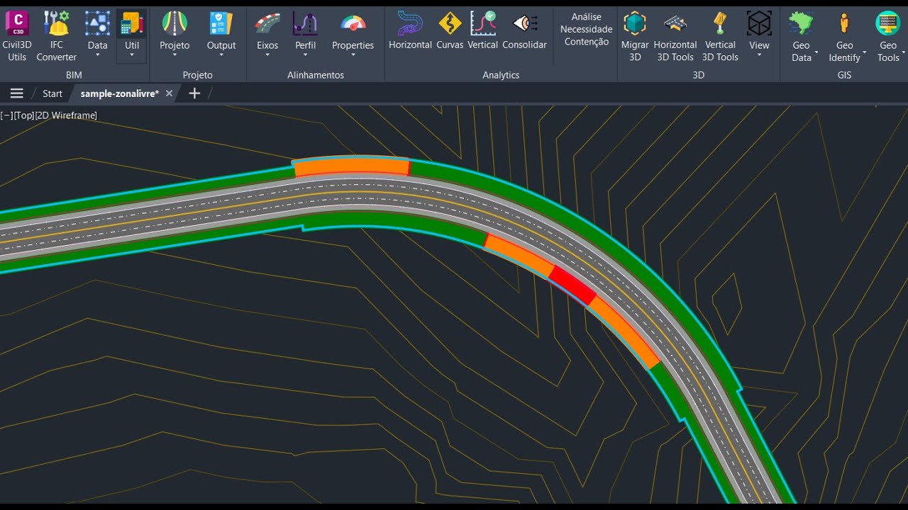
Full automation for inserting crash barriers and parapets:
accurate reports, placement on the correct stationing
(multiples of 4), terminal and action handling. Tied to the
clear-zone / containment-need analysis.
Airports
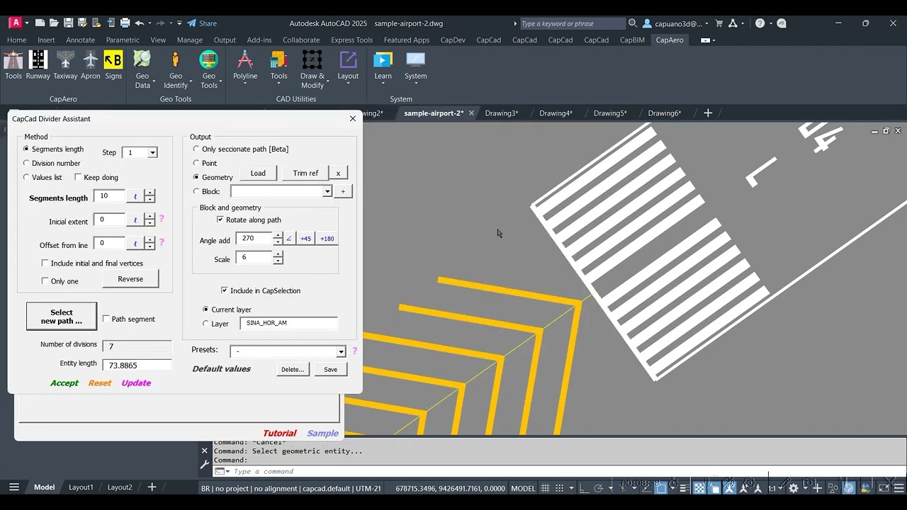
CapCad Aero handles airport signage and markings — runway,
taxiway and apron — with the same insertion-and-reporting
philosophy as the road-signage modules.
Learn more about CapAero →
GIS
Advanced GIS tooling backing the road-signage workflow — own
coordinate system, official data sources, web-service integration
and KMZ export.
Google Maps, Street View, Earth & OSM integration
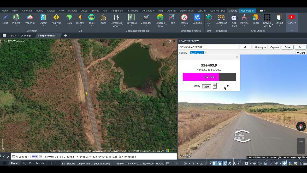
Direct access to imagery, streets and geographic data from
Google Maps, Street View, Google Earth and OpenStreetMap
inside CAD — no window-switching. Includes an assistant for
setting a background geo-image in CAD from any of these
sources.
Geographic data import
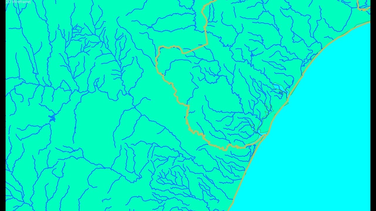
Direct import of geographic datasets from official sources
(national mapping agencies, hydrography, road networks),
ready for use in CAD.
OSM & Esri ArcGIS Online extraction
Extract OpenStreetMap and Esri ArcGIS Online entities straight
from the web into CAD — boundaries, streets, buildings and
other selectable layers.
KMZ export
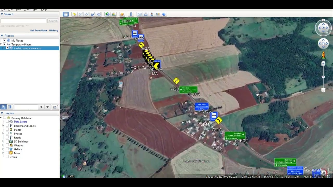
Generate KMZ from the designed vertical signage — view and
present directly in Google Earth, useful for team reviews
and deliverables.
CAD tools
Free utilities
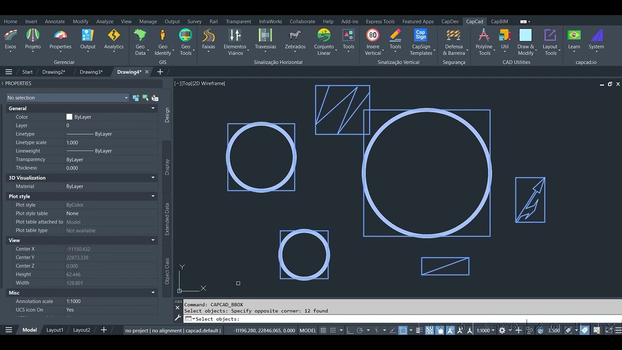
Basic utilities for blocks, XREFs, layers, linetypes, attributes
and polylines (circle→polyline, bounding box, copy-in-place,
reference placer, match rotation and many more). Includes
tools to sum entity lengths and areas. Available on the free
CapCad tier.
Advanced tier
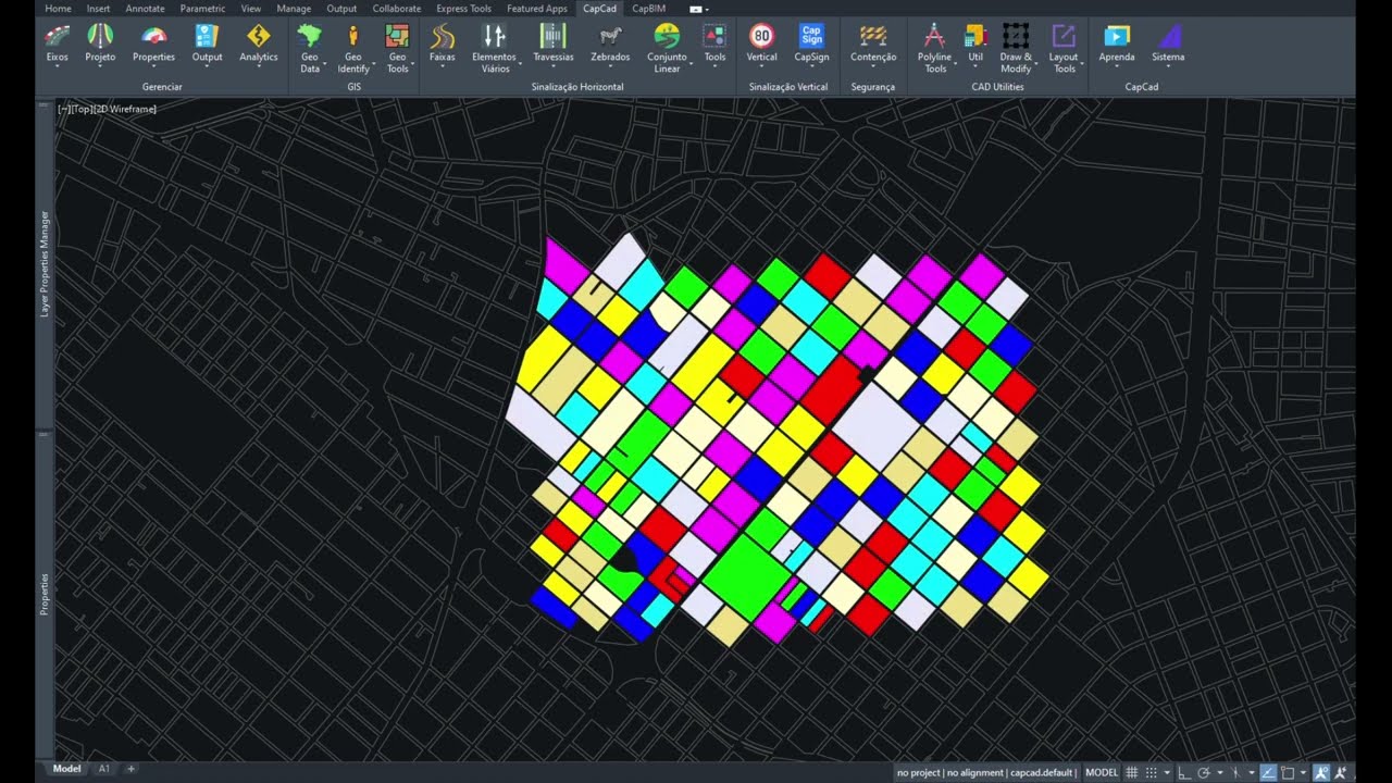
Beyond the free tier: full CAD entity report (attributes,
dynamic block properties, XData — with a reverse function
to push data back into CAD); XData manager; apply scripts
to DWGs in batch; construction layers; advanced customisable
block library and inserter.